The Decode Ltd.
- http://www.decodebd.com
- [email protected]
- 01678134846, 01711567377
- BDBL Bhaban (6th Floor - East), 12 Karwan Bazar, Dhaka - 1215
Company Details
The Decode Ltd was established in 1997 starting with CAD conversion and contour mapping service facilities working for a number of projects in USA and Europe. With the support of a Denmark Government Development Program, DANIDA, in 2004, Decode launched an extensive training program for its human resources development in the mapping sector. Under this program in the last few years, a considerable number of employees of Decode were trained in the field of photogrammetric mapping techniques and standard in Denmark to enhance the strength of the company to ensure quality product and services.
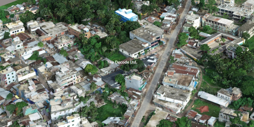
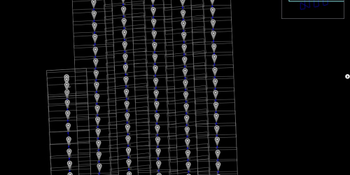
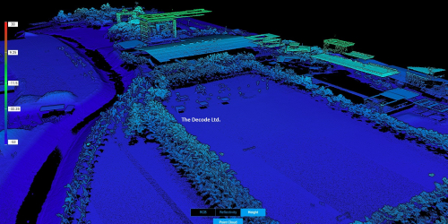
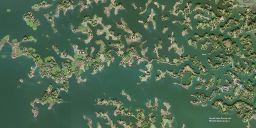
Over the years Decode has considerably enriched its Human Resources and Infrastructure to provide a wide range of solution for all types production services in the field of photogrammetry, remote sensing, Aerail Photography (UAV), LiDar and GIS. Decode has successfully completed a number of mapping projects with Scankort A/S of Denmark and independently.


